About two million years ago, the land was already formed. One large land area reached out into the Pacific Ocean from the Asian continent. Only the South China, Sulu and Celebes basins remained as seas. But events were taking shape in the earth’s polar region, causing three successive ice ages which lowered sea levels by 100 meters (330 feet). Sheets of ice were forming over the vast areas of the middle latitude of the North American continent and over much of northwestern Eurasia. From these areas, the ice seems to have moved out slowly in all directions, but mostly southward. The ice sheets were formed from snow, which must have fallen in great quantities when the climate was not warm enough to melt it. The ice was so thick that only the highest mountain peaks were visible about it.
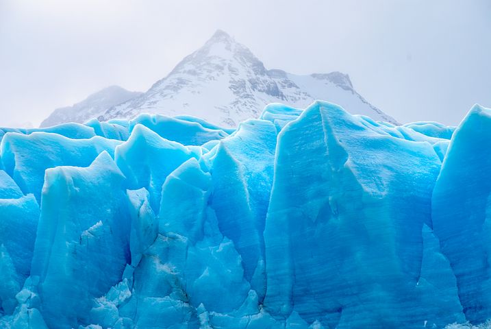 Photo by freegreatpicture.com
The ice age consisted of several glacial epochs, separated by epochs of milder climate during which the ice sheets were reduced or disappeared all together. During the last 65,000,000 years of Earth history, the Earth began a slow cooling period as early as 30,000,000 years ago during the Cenozoic Era, followed by the Pleistocene Epoch. The Pleistocene Epoch is the geological span of time that began 2,500,000 years ago and ended with the last glacial epoch some 10,000 years ago, with the beginning of the Holocene Epoch.
During the Pleistocene Epoch, great changes were taking place on the continents with the melting of the ice at least four or five times producing vast quantities of water which formed into lakes wherever basins were present. It also left a thick deposit of debris, called “drift” on the surface which it had covered. The drift consisted of rocks and earthly debris which the ice had scraped and broken off from the land over which it passed. The uneven spreading of the drift and the erosion of the ice left many depressions without outlets in the surface and in these depressions lakes, ponds, and marshes were formed of the large areas where once were covered by ice sheets. Thus arose most of the lakes, ponds, and marshes of the great area of millions of square miles covered by the ice sheets of North America.
 Photo by bhart9070
In addition to the lakes, the melting ice sheets left the surface strewn with boulders of various kinds of rock, some of them of great size. Some of them had been transported hundreds of miles from the places where the ice broke them from the bedrock. Has anyone wondered how the huge rock called “Lion’s Head” in Baguio in the Mountain Province got there? It must have been transported there during the interglacial period.

Photo by gobaguio.com
Some of the lakes occupy basins made by the damming of river valleys by drift which the ice left. The many waterfalls within the area covered by the ice, both in the east and west, were in most cases due to changes of drainage caused by the great glacier. Many of the earlier valleys were filled by the deposits made by the ice, and when the ice sheet melted, the surface waters sought new courses or formed marshes which developed into shallow basins. In the glaciated area there were many peat beds, formed in marshes which developed in shallow basins in the surface after the ice sheet melted.
Untill next time. The Story of the Philippines continues . . .
Rosalinda